")
")
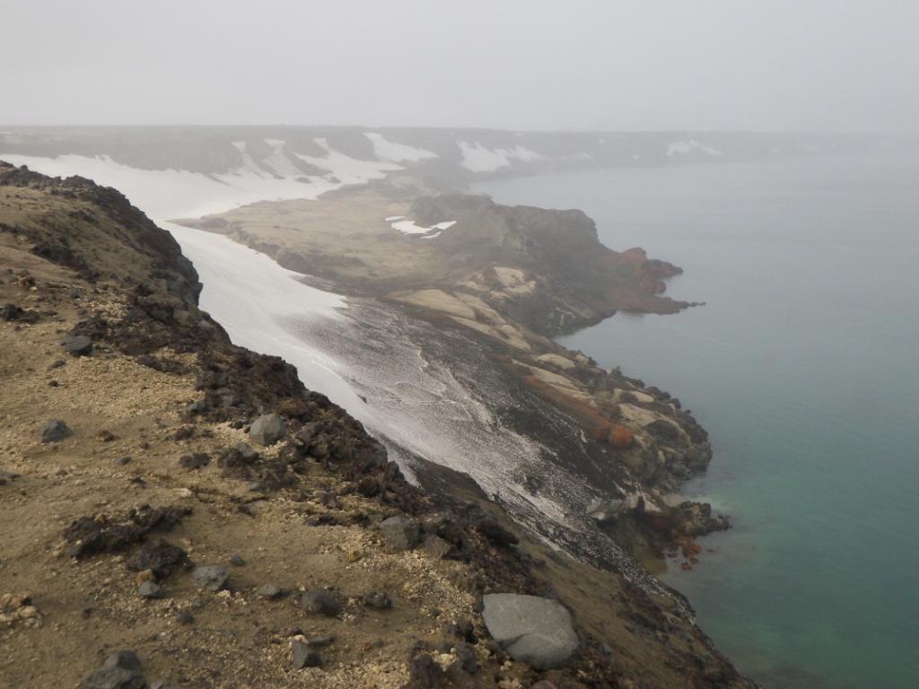
Huge landslide and tsunami at Askja, July 21st 2014
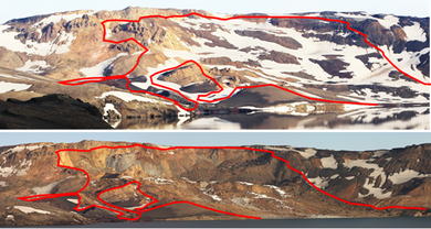
Left: Upper picture shows the area of the landslide in Askja 3 days before the flood. Lower picture is taken 4 hours after the the landslide. The red line shows the outline. Picture by Ármann Höskuldsson / Jón Kristinn Helgason.
Right: The landslide was producing probably 4 tsunami waves in lake Askja. Luckily the hazard happened at night, when noone was around, picture by Gunnar Víðisson.
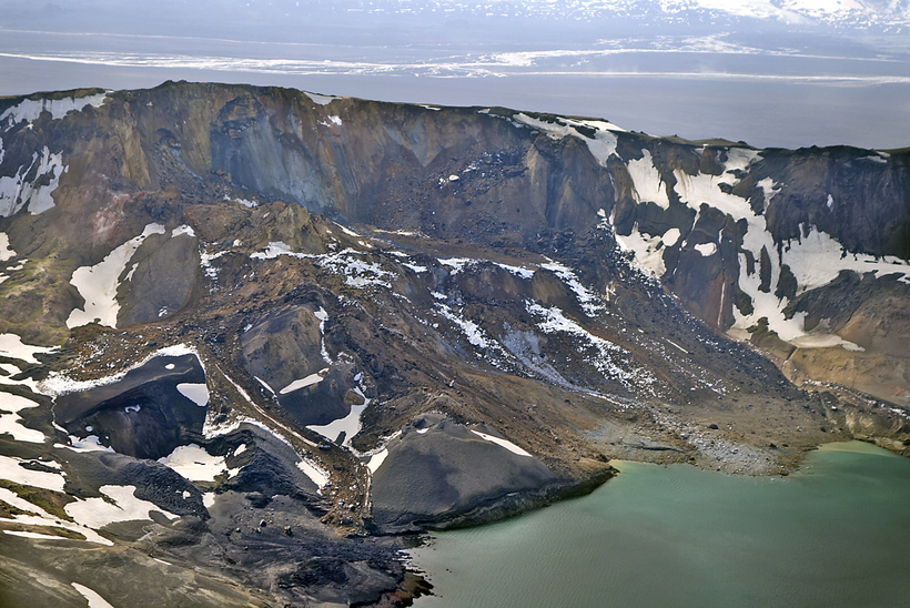
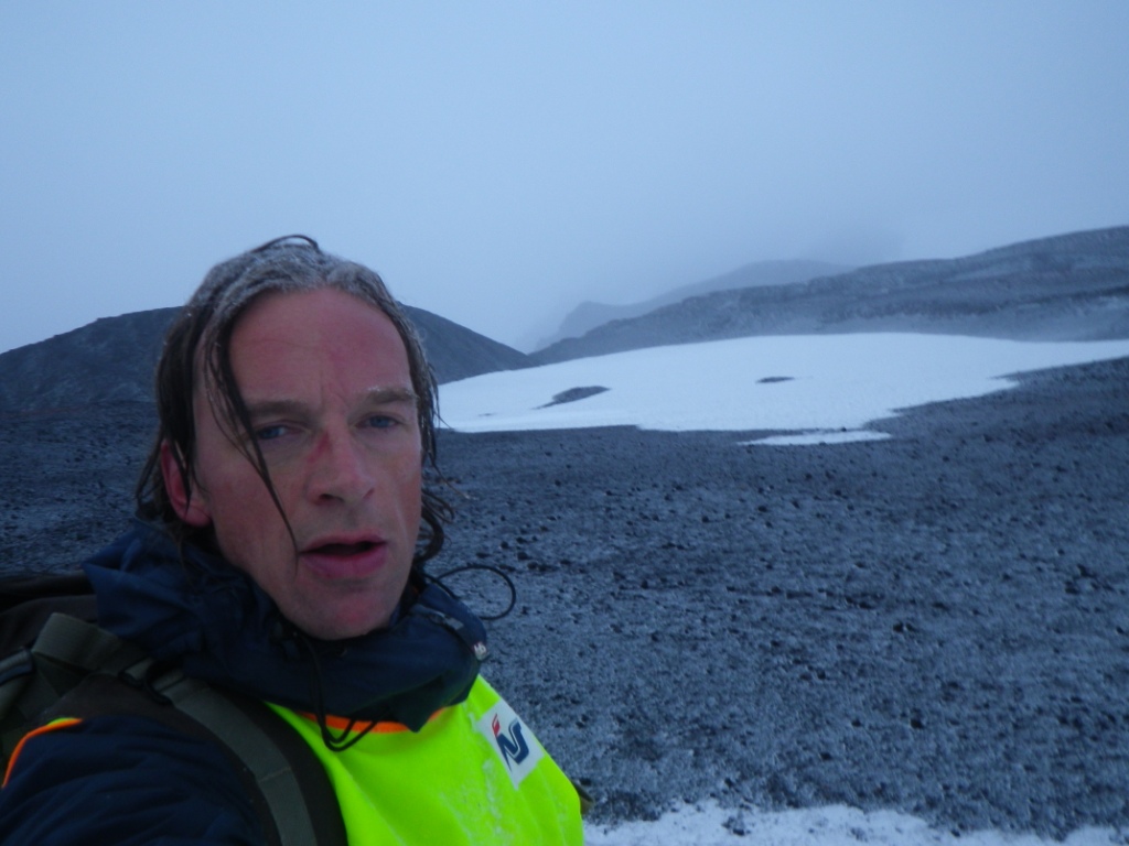
A geologist from Breiðdalssetur went to lake Askja on 30th of July to take a further look on the landslide and the tsunami wave marks of the 21th July.
With a pH & EC meter from Náttúrustofa Austurlands, the pH and conductivity in Víti and Öskjuvatn were measured:
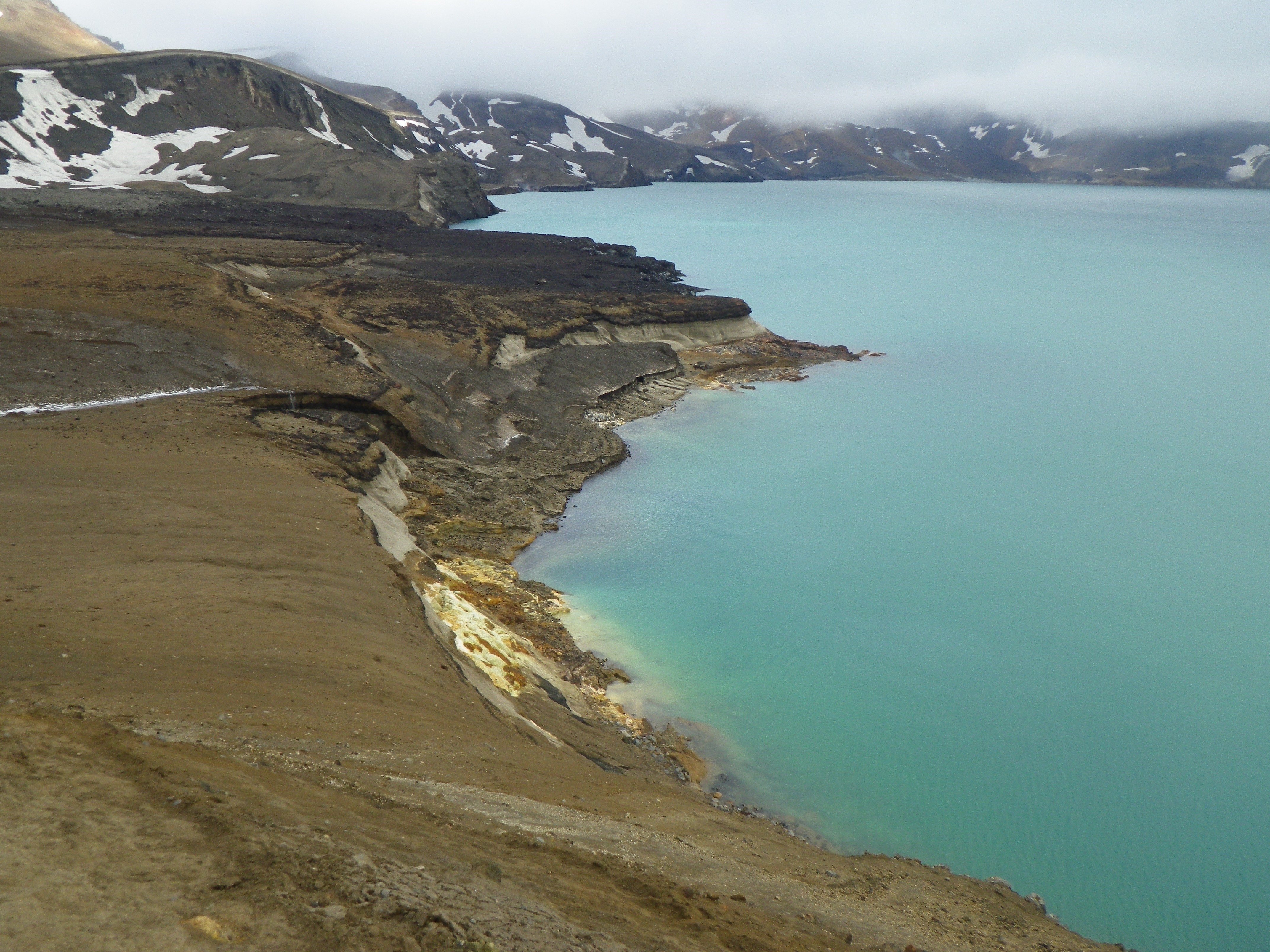
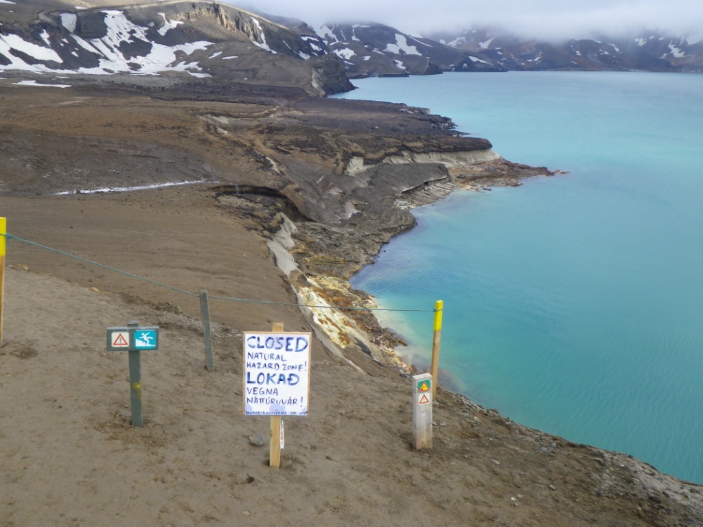
A selection of picture which were taken are here.
Öskjuvatn, Ólafsgígar 65,0365°N/16,7878°W Víti 65,047°N/16,7249°W
T 1,9°C T 23,4°C
pH 7,88 pH 3,19
Conductivity 643 µS/cm Conductivity 1325 µS/cm
T 1,9°C T 23,4°C
pH 7,88 pH 3,19
Conductivity 643 µS/cm Conductivity 1325 µS/cm
The weather was northerly wind, rain and snow with short (<5min) periods of sunshine. The mountain tops were permanently in clouds.
- Created on .
- Hits: 1830